
Enhancing Wildfire Risk Assessment with Automated AI Technology
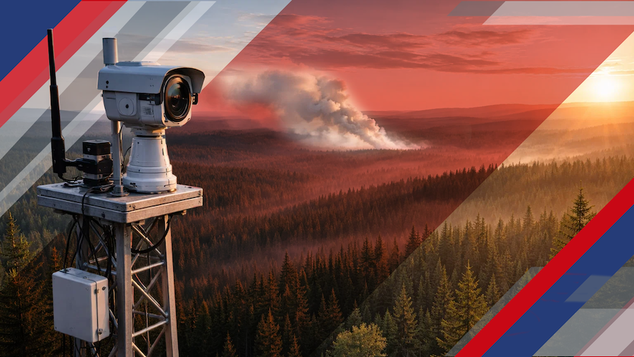
EarthDaily is bringing satellite-derived wildfire intelligence into the daily underwriting and portfolio workflows of a major North American property and casualty insurer.
The commercial agreement will deploy EarthDaily’s artificial intelligence-powered wildfire model across high-risk markets in the western United States. Although the insurer has not been publicly identified, the company plans to use the technology for underwriting, portfolio management and growth planning.
The partnership reflects a broader shift in property insurance. Wildfire models are no longer used only for annual catastrophe studies or broad geographic screening. Carriers increasingly need property-level intelligence that can be refreshed as vegetation, moisture, development and weather conditions change.
Moving Beyond Static Wildfire Maps
Traditional wildfire assessments often rely heavily on historical fire perimeters, established hazard zones and periodically updated fuel maps. Those inputs remain valuable, but they can lose accuracy when landscapes change faster than the underlying datasets.
A parcel near irrigated land, managed vegetation or a recently cleared area may present a different exposure than another property in the same ZIP code. Conversely, vegetation growth, drought stress or nearby development can increase risk after an earlier assessment was completed.
EarthDaily’s Fire Likelihood AI Model, known as FLAIM, combines satellite observations with weather data and other geospatial information. It examines factors such as vegetation, fuel conditions, moisture, terrain, wind and land use to estimate wildfire probability and fuel hazard.
The model also evaluates directional vulnerability, helping users understand how a fire could move across a landscape and threaten a community. That distinction matters when carriers assess not only individual properties but also the possibility that one event could affect an entire concentration of insured locations.
“Wildfire risk is not static. Vegetation, moisture, weather and land conditions can change quickly.”
Why Property-Level Differentiation Matters
Broad hazard classifications can force an insurer into an uncomfortable choice: decline an entire area or accept risks without enough information to distinguish stronger properties from weaker ones. More granular intelligence creates another option.
If a carrier can identify relatively lower-risk properties inside a generally exposed territory, it may be able to write selectively while maintaining concentration limits. The same information can help determine when a neighborhood has accumulated too much insured value or when changing conditions warrant another review.
For agents, this could eventually produce more explainable underwriting decisions. Instead of receiving a decline based primarily on a ZIP code or generalized fire zone, an agency may receive a decision connected to identifiable conditions such as fuel density, vegetation health, terrain or exposure from an adjoining area.
That does not guarantee broader eligibility. A technically insurable property may still fall outside a carrier’s appetite because of roof condition, construction, access, water supply, replacement cost or portfolio concentration. Satellite intelligence adds another layer of evidence rather than replacing the complete underwriting process.
Operational Uses Across the Insurance Cycle
The value of regularly updated wildfire intelligence extends beyond new-business selection. When the same information is available across underwriting, actuarial, claims and enterprise-risk teams, it can support a more consistent view of exposure.
- Underwriting: Differentiate properties within broadly designated wildfire zones.
- Portfolio management: Monitor concentrations of insured value near changing fuel conditions.
- Pricing: Support risk classifications with more current property and landscape information.
- Claims: Prioritize outreach and inspection after a fire using burn-area intelligence.
- Reinsurance: Provide a more detailed view of accumulations and model assumptions.
This is especially important for conflagration risk. A property can have strong individual characteristics and still contribute to a substantial aggregate exposure if the carrier insures many nearby homes subject to the same wind, vegetation and evacuation constraints.
The Market Pressure Behind Better Models
The need for greater precision became unmistakable after the January 2025 Los Angeles wildfires. Industry estimates placed insured losses in the tens of billions of dollars, while carriers reported substantial individual loss burdens. The event also demonstrated how wildfire can create severe urban and suburban losses outside traditional seasonal expectations.
Pressure has been building on both sides of the market. Homeowners and agents need dependable coverage options, while insurers must demonstrate that rates, underwriting rules and capacity decisions reflect the actual exposure. Growth in residual-market programs has further illustrated what happens when private-market capacity contracts across large territories.
California has also taken steps to permit the use of forward-looking catastrophe models in residential property rate filings under specified regulatory requirements. This creates an opportunity for more sophisticated modeling, but it also raises expectations for transparency, validation and the treatment of property-level mitigation.
A model that produces a score without explaining its contributing factors may be difficult for underwriters, regulators and policyholders to evaluate. Observable inputs such as vegetation vigor, soil moisture, terrain and fuel load can make the result more understandable, although carriers still need governance procedures to test accuracy and prevent overreliance on any single tool.
Implications for Agents and Agencies
Agents should not expect satellite modeling to eliminate difficult wildfire placements. Its more realistic near-term benefit is better differentiation. A carrier with greater confidence in its data may be willing to examine individual submissions in communities that previously received blanket restrictions.
Agencies can prepare for that environment by collecting detailed property information before submission. Defensible-space documentation, roof and siding materials, access conditions, nearby vegetation, water availability and completed mitigation work may become more valuable when combined with frequently updated geospatial intelligence.
Clear documentation will also matter when a model appears inconsistent with conditions at the property. Satellite-derived information can be timely and scalable, but imagery, classification methods and geographic resolution can still produce errors. Agents need a practical process for requesting review and presenting evidence when a property has been modified or inaccurately categorized.
A New Kind of Client Conversation
More dynamic underwriting means risk status may change over time. Agents can help clients understand that eligibility is influenced by conditions beyond the property line, including vegetation on adjoining parcels, community-level fuel management and access for emergency responders.
That conversation should remain focused on actions the policyholder can control. Maintaining defensible space, hardening vulnerable building components, documenting improvements and reviewing replacement cost can strengthen a submission even when broader environmental exposure remains elevated.
What Carriers Must Get Right
Integrating FLAIM or a comparable system involves more than adding a score to an underwriting screen. Carriers must decide how model outputs affect appetite, pricing, referral thresholds, inspections and renewal reviews. They also need controls for data quality, model drift, overrides and adverse decisions.
Testing should compare modeled conditions with actual fire experience, inspection findings and claims results. A carrier should also examine whether frequent data updates create unnecessary volatility for policyholders or distribution partners. More current information is useful only when it is connected to consistent decision rules.
The technology should complement established catastrophe models rather than automatically displace them. Historical loss information, engineering analysis, structural characteristics and current environmental observations answer different questions. Used together, they can provide a more complete view of both property vulnerability and portfolio-level loss potential.
The Next Stage of Wildfire Intelligence
EarthDaily says its model is designed for integration with existing insurance systems, reducing the custom data preparation required for operational use. Its acquisition of wildfire and forest-risk specialist SkyForest in early 2025 added more than a decade of forest measurement, field validation and fire analysis to the company’s Earth observation capabilities.
Future observations from the EarthDaily Constellation are expected to provide another high-resolution input for updating the company’s wildfire products. The practical test will be whether those improvements help insurers identify meaningful changes soon enough to influence underwriting, accumulation management and post-event response.
For the insurance marketplace, the larger promise is not simply a more sophisticated wildfire score. It is the possibility of replacing overly broad geographic decisions with current, explainable and property-specific assessments. If carriers can pair that precision with disciplined model governance and recognition of verified mitigation, satellite intelligence could help support both financial resilience and more sustainable coverage availability in wildfire-exposed communities.